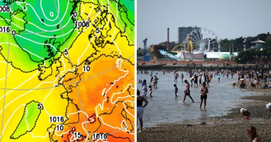
A huge band of rain and thunderstorms is set to come crashing over Britain in hours, sparking an immediate end to a short-lived heat spike.
Weather maps show that by 9pm on Thursday, May 1, a horizontal storm system stretching from southern Wales, across the East and West Midlands, and into Cambridgeshire, Norfolk and Suffolk will strike. While the Met Office has not yet issued any weather alerts, new GFS runs show the isolated thunder and lightning could come after Britain’s warmest day of the year so far.
Temperatures have started to climb into the early 20Cs today (April 30) with the eastern coast of Scotland seeing peaks of 24C. But by Thursday thermometers are set to soar even further, with highs of 28C to 29C predicted, nudging the country close to its former record for a 29.9C day in Camden, London, in 1949.
Jim Dale, a climate commentator and founder of British Weather Services, told the Mirror that the humidity will prompt the storms – with the eastern coast of Britain notoriously scooping the top temperatures amid heatwaves.
He said: “By Thursday there will be a bit more humidity around and there could also be some thunderstorms in Wales, into the Midlands – but it will come and go. After that, things seem to die down. It will still be pleasant, around 20C to 21C and that’s throughout the weekend where we can expect a bit more rain in the south.”
As the nation heads towards the first May Bank Holiday weekend, many Brits will be wondering whether the heat – or even the dry spell – will continue into Monday, May 5.
Jo Farrow, a forecaster at Netweather wrote in her blog post: “In true British Bank Holiday style, the weather is set to turn. It doesn’t look awful but it might seem a great shame that there will be sunshine and high temperatures midweek but a decline when many will have a long weekend off work. It’s all down to where our air is coming from.”
She added that fresher air – hailing a drop in the mercury – will push southwards by Saturday, with the “muggy warmth” clinging onto southern England until then.
“So if you are making plans, do bear in mind that the nights, and evenings will be nippy again. By day any sunshine will be strong (and warm) with high tree pollen in places,” she added. “You will need those clothing layers back, especially if stubborn cloud cover returns or for blustery coasts and hills. Don’t rely on how it looks.”
Wednesday is set to be a very warm day, with lots of sunshine. A few showers developing across Northern Ireland and Scotland later in the day.
A very warm and sunny day on Thursday. An increased risk of some heavy showers or thunderstorms from Friday, otherwise dry and bright for most. Turning cooler by the weekend.
At Reach and across our entities we and our partners use information collected through cookies and other identifiers from your device to improve experience on our site, analyse how it is used and to show personalised advertising. You can opt out of the sale or sharing of your data, at any time clicking the “Do Not Sell or Share my Data” button at the bottom of the webpage. Please note that your preferences are browser specific. Use of our website and any of our services represents your acceptance of the use of cookies and consent to the practices described in our Privacy Notice and Cookie Notice.


