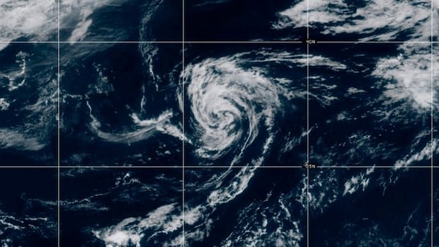
The U.S. National Oceanic and Atmospheric Administration has announced a one-month delay in cutting off satellite data crucial for tracking hurricanes. The decision to postpone the discontinuation of key data collected by three weather satellites jointly operated by NOAA and the U.S. Defense Department comes amid concerns raised by meteorologists and scientists about the potential repercussions. The microwave data from the Defense Meteorological Satellite Program provides essential information such as three-dimensional storm details and overnight storm behavior, which cannot be obtained from traditional satellites. Originally scheduled for termination on June 30 due to cybersecurity risks, the data cutoff has been rescheduled for July 31. Peak hurricane season typically falls between mid-August and mid-October.
NOAA’s decision to delay the satellite data cutoff has sparked discussions among experts about the significance of this data for hurricane forecasting. The agency emphasized that the satellite program is just one component of its suite of tools for predicting and modeling hurricanes. Although the reason for the delay was not immediately clarified by NOAA, the U.S. Navy mentioned that the program no longer meets its modernization requirements in terms of information technology.
Responding to concerns about the impact of this data loss, NOAA assured the public that its existing data sources and models are equipped to maintain high-quality weather forecasting services. Environment and Climate Change Canada also expressed confidence in their ability to deliver accurate forecasts despite the suspension of U.S. satellite data, citing collaboration with various services and international organizations like the World Meteorological Organization.
However, scientists like Marc Alessi from the Union of Concerned Scientists stressed the importance of the satellite data for detecting rapid storm intensification and predicting storm paths accurately, especially in the context of worsening extreme weather events linked to climate change. The loss of this critical data poses challenges not only for short-term forecasting but also for monitoring long-term climate trends.
The microwave data provided by satellites offers unique insights into storm structures and behaviors that are crucial for effective hurricane tracking. While traditional satellites provide valuable information, the three-dimensional details captured by microwave data are essential for comprehensive storm analysis, especially during nighttime observations. The absence of this data could impact the ability to accurately assess storm strength and location, potentially affecting preparedness and response efforts in regions like Nova Scotia.

